7 Days Lemosho Route
Description
7 Days Lemosho Route Climbing is the best for acclimatization. The remote is less used and beautiful way up to the Shira Plateau. The minimum duration for the Lemosho route is 6 days, however we strongly recommend hiking the route in 7 days. The additional 7th day will give your body more time to acclimatize, reducing the effects of altitude sickness and give you more time to rest before attempting the summit.
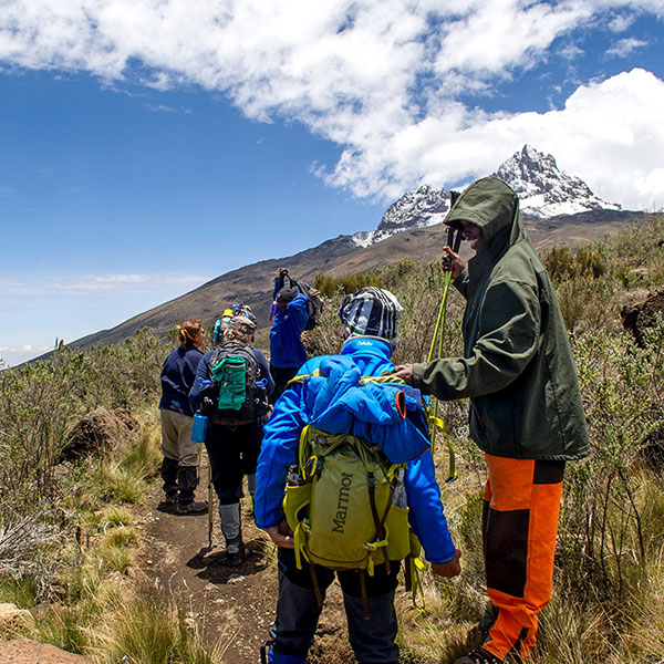
The Lemosho route is lesser known.It begins on the western side of Kilimanjaro. Walking through the rainforest for the first two days the vegetation changes to heath and moorland with many ferns and ericas along the way. The narrow trail sometimes has some very steep sections and is scenically diverse. On the third day, the trail joins the Machame route. Hikers overnight in tents.
| Highlights |
|
| Includes |
|
| Excludes |
|
Location Map
Tour Timeline
-
1Day 1: Forest Camp to Shira Camp 1
We depart Arusha/Moshi for Lomosho Gate, which takes about 4 hours, where you will complete entry formalities. Then drive to the Lemosho trailhead (another hour to reach the trailhead). Upon arrival at trailhead, we eat lunch, and then commence through undisturbed forest which winds to the first camp site.
Elevation (ft): 7,800ft to 9,500ft
Distance: 6 km
Hiking Time: 3-4 hours
Habitat: Rain Forest
-
2Day 2 : Forest Camp to Shira Camp 1
We continue on the trail leading out of the forest and into a savannah of tall grasses, heather, and volcanic rock draped with lichen beards. As we ascend through the lush rolling hills and cross several streams, we reach the Shira Ridge before dropping gently down to Shira 1 camp. The view of Kibo from across the plateau is amazing.
Elevation (ft): 9,500ft to 11,500ft
Distance: 8 km
Hiking Time 5-6 hours
Habitat: Moorland
-
3Day 3: Shira Camp 1 to Shira 2 to Moir Hut
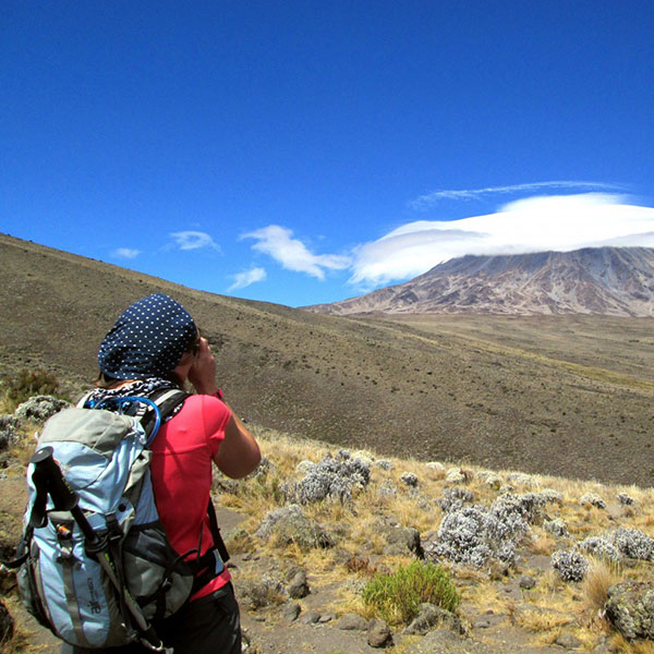
We explore the Shira plateau for a full day. It is a gentle walk east toward Kibo’s glaciered peak, across the plateau which leads to Shira 2 camp on moorland meadows by a stream. Then we continue to Moir Hut, a little used site on the base of Lent Hills. A variety of walks are available on Lent Hills making this an excellent acclimatization opportunity. Shira is one of the highest plateaus on earth.
Elevation: (ft): 11,500ft to 13,800 ft
Distance: 14 km
Hiking Time: 5-7 hours
Habitat: Moorland
-
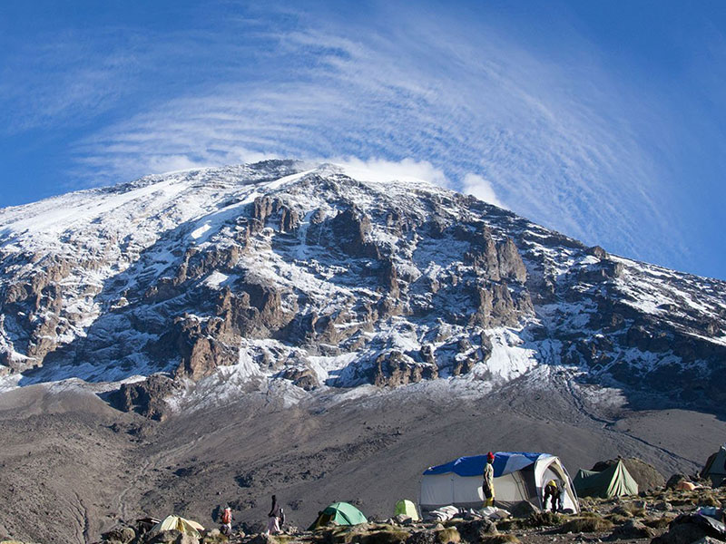
4Day 4: Moir Hut to Lava Tower to Barranco Camp
From the Shira Plateau, we continue to the east up a ridge, passing the junction towards the peak of Kibo. As we continue, our direction changes to the South East towards the Lava Tower, called the “Shark’s Tooth.” Shortly after the tower, we come to the second junction which brings us up to the Arrow Glacier at an altitude of 16,000ft. We now continue down to the Barranco Hut at an altitude of 13,000ft. Here we rest, enjoy dinner, and overnight. Although you end the day at the same elevation as when you started, this day is very important for acclimatization and will help your body prepare for summit day.
Elevation (ft): 13,800ft to 13,000ft
Distance: 7 km
Hiking Time: 4-6 hours
Habitat: Semi Desert
-
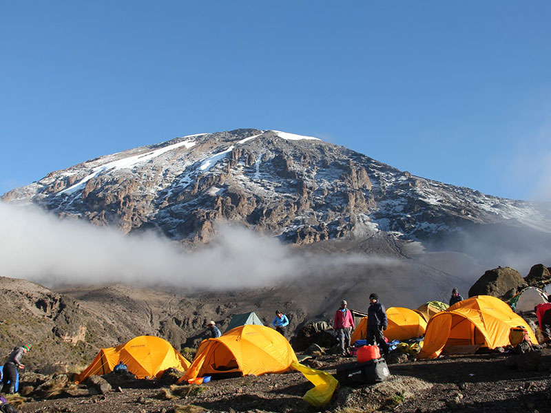
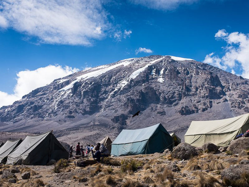
5Day 5: Barranco Camp to Karanga Camp to Barafu Camp
After breakfast, we leave Barranco and continue on a steep ridge passing the Barranco Wall, to the Karanga Valley campsite. Then, we leave Karanga and hit the junction which connects with the Mweka Trail. We continue up to the Barafu Hut. At this point, you have completed the South Circuit, which offers views of the summit from many different angles. Here we make camp, rest, enjoy dinner, and prepare for the summit day. The two peaks of Mawenzi and Kibo are to be seen from this position.
Elevation (ft): 13,000ft to 15,000ft
Distance: 9km
Hiking Time: 8-10 hours
Habitat: Alpine Desert
-
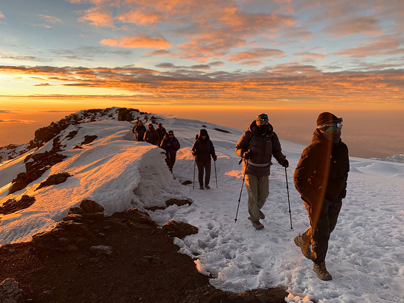
6Day 6: Barafu Camp to Summit to Mweka Hut
Very early in the morning (midnight to 2am), we continue our way to the summit between the Rebmann and Ratzel glaciers. You head in a northwesterly direction and ascend through heavy scree towards Stella Point on the crater rim. This is the most mentally and physically challenging portion of the trek.
At Stella Point (18,600 ft), you will stop for a short rest and will be rewarded with the most magnificent sunrise you are ever likely to see (weather permitting). From Stella Point, you may encounter snow all they way on your 1-hour ascent to the summit. At Uhuru Peak, you have reached the highest point on Mount Kilimanjaro and the continent of Africa. Faster hikers will see the sunrise from the summit.
At Stella Point (18,600 ft), you will stop for a short rest and will be rewarded with the most magnificent sunrise you are ever likely to see (weather permitting). From Stella Point, you may encounter snow all they way on your 1-hour ascent to the summit. At Uhuru Peak, you have reached the highest point on Mount Kilimanjaro and the continent of Africa. Faster hikers will see the sunrise from the summit.
Elevation (ft): 15,300ft to 19,345ft (and down to 10,000ft)
Distance: 5 km ascent / 12 km descent
Hiking Time: 7-8 hours ascent / 4-6 hours descent
Habitat: Arctic
-
7Day 7: Mweka Camp to Arusha/Moshi
After breakfast, we continue the descent down to the Mweka Park Gate to receive your summit certificates. At lower elevations, it can be wet and muddy. Gaiters and trekking poles will help. Shorts and t-shirts will probably be plenty to wear (keep rain gear and warmer clothing handy). A vehicle will meet you at Mweka gate, then heading to your lodge in Moshi or Arusha for a long overdue hot shower, dinner and more celebration!
Elevation (ft): 10,000ft to 5,400ft
Distance: 10 km
Hiking Time: 3-4 hours